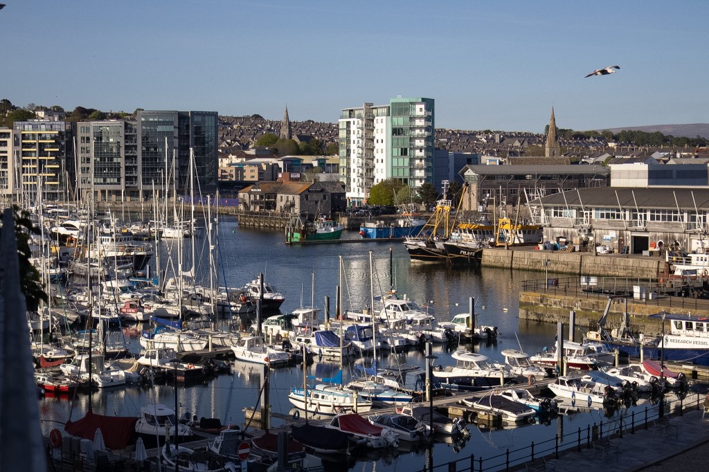
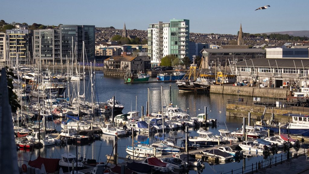
Few places in Plymouth tell the city’s story quite like Sutton Harbour.
As discovered by the Anglo-Saxons around 700 AD, Sutton Harbour has witnessed some of Plymouth’s most significant historic moments and played an important role in shaping the city we know today. The Saxon settlers named the area “Sutton”, meaning “South Town”. However, the name “Plymouth” wouldn’t officially appear until the Charter of King Henry VI in 1440.
The harbour was the base of operations for the English ships that set out to confront the Spanish Armada and later witnessed the Pilgrim Fathers setting sail for America from the nearby Mayflower Steps in 1620.
Today, Sutton Harbour is a beautiful and bustling waterfront all year round. Whether you’re looking for cafés and restaurants, bars, independent shops, waterside views or a visit to the nearby aquarium, there’s something for everyone to enjoy.
If you don’t fancy travelling here just yet, feel free to continue reading and join me as we explore this short trail together, discovering the history behind one of Plymouth’s most fascinating harbours.
There are ten main stops along the Sutton Harbour Heritage Trail. Take your time, admire the photographs I’ve included, and enjoy the journey!
ℹ️ Trail at a Glance:
Location: Sutton Harbour, Plymouth, Devon
Start/End point: Plymouth Fisheries, Lockyers Quay / Plymouth Marine Aquarium
Walk type: Circular heritage and waterfront walk
Time needed: Around 1-2 hours, depending on how often you stop
Difficulty: Easy – mostly flat, paved paths with a few gentle slopes
Best for: Maritime history, harbour views, local heritage, cafes and a relaxing wander
Good to know: This is a leisurely self-guided trail rather than a serious hike, with plenty of places to stop for refreshments while taking in the history and scenery. Public toilets are located along the main Barbican waterfront on Quay Road, and there are several paid car parks nearby, including Harbour Car Park on Lockyer’s Quay
Stop 1: Plymouth Fisheries

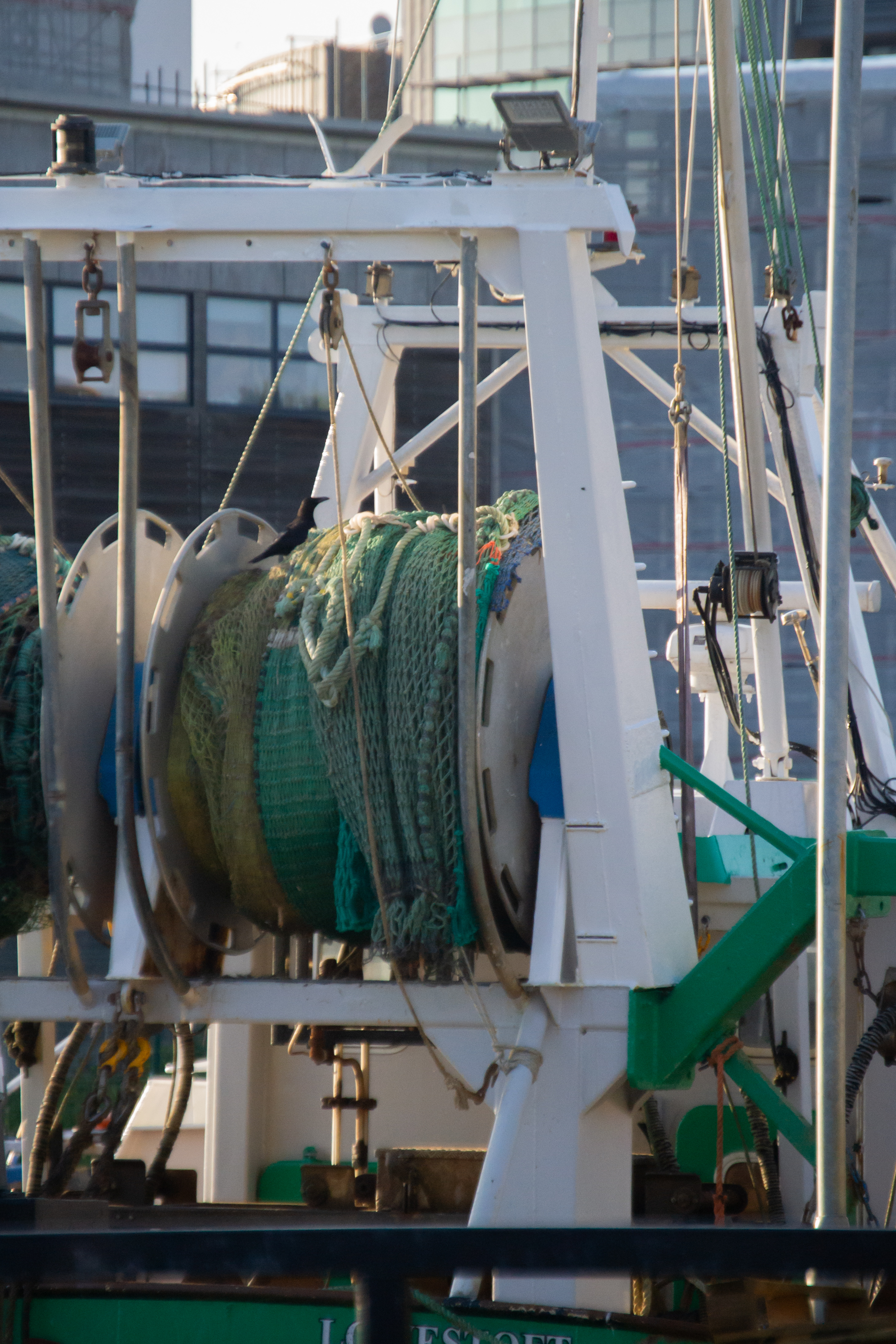
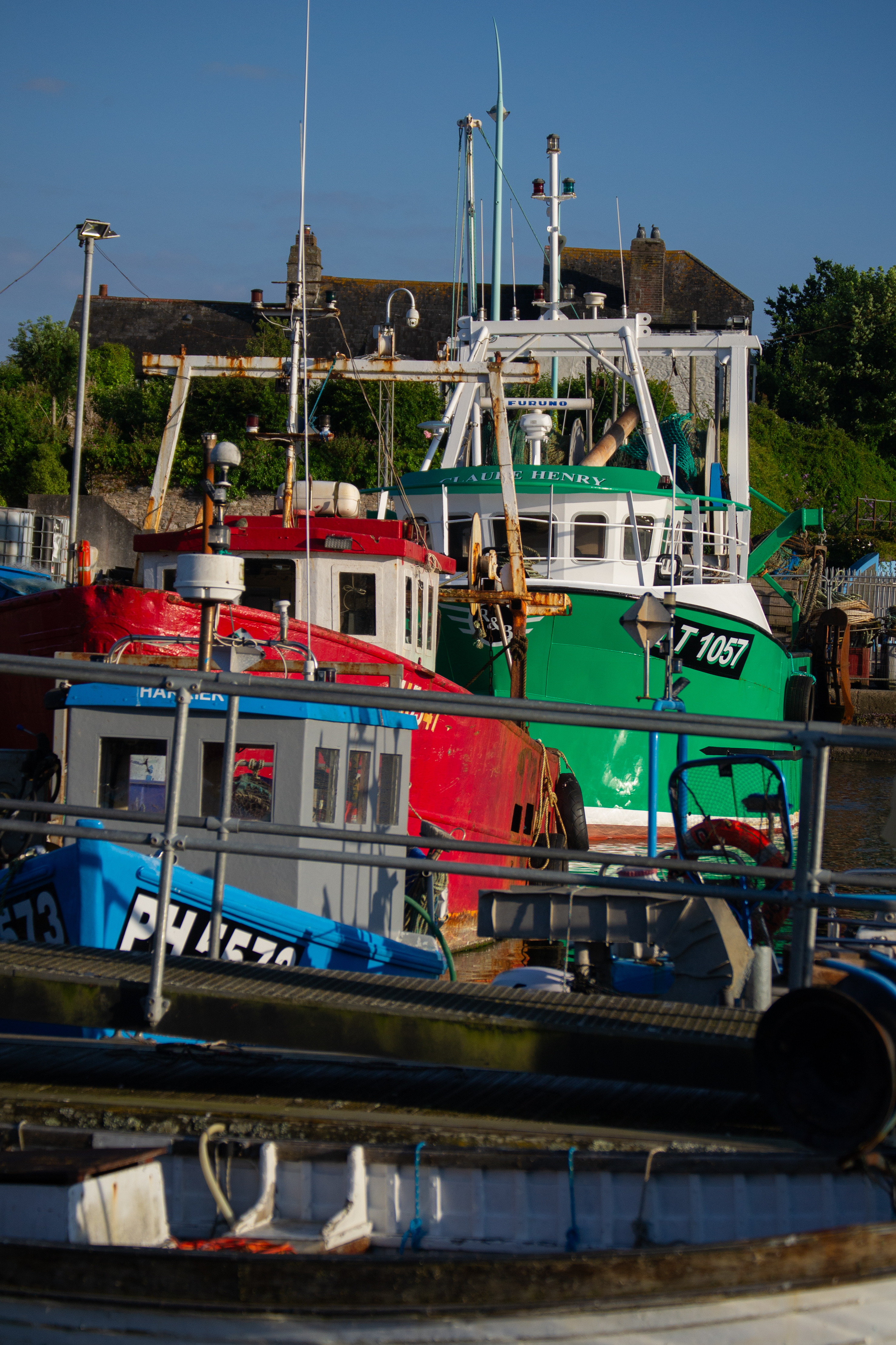
Our walk begins at Plymouth Fisheries, one of the largest fresh fish markets in England. The current purpose-built site was constructed in 1883 by local businessman Edmund Lockyer, who was also a director of the Plymouth and Dartmoor Railway.
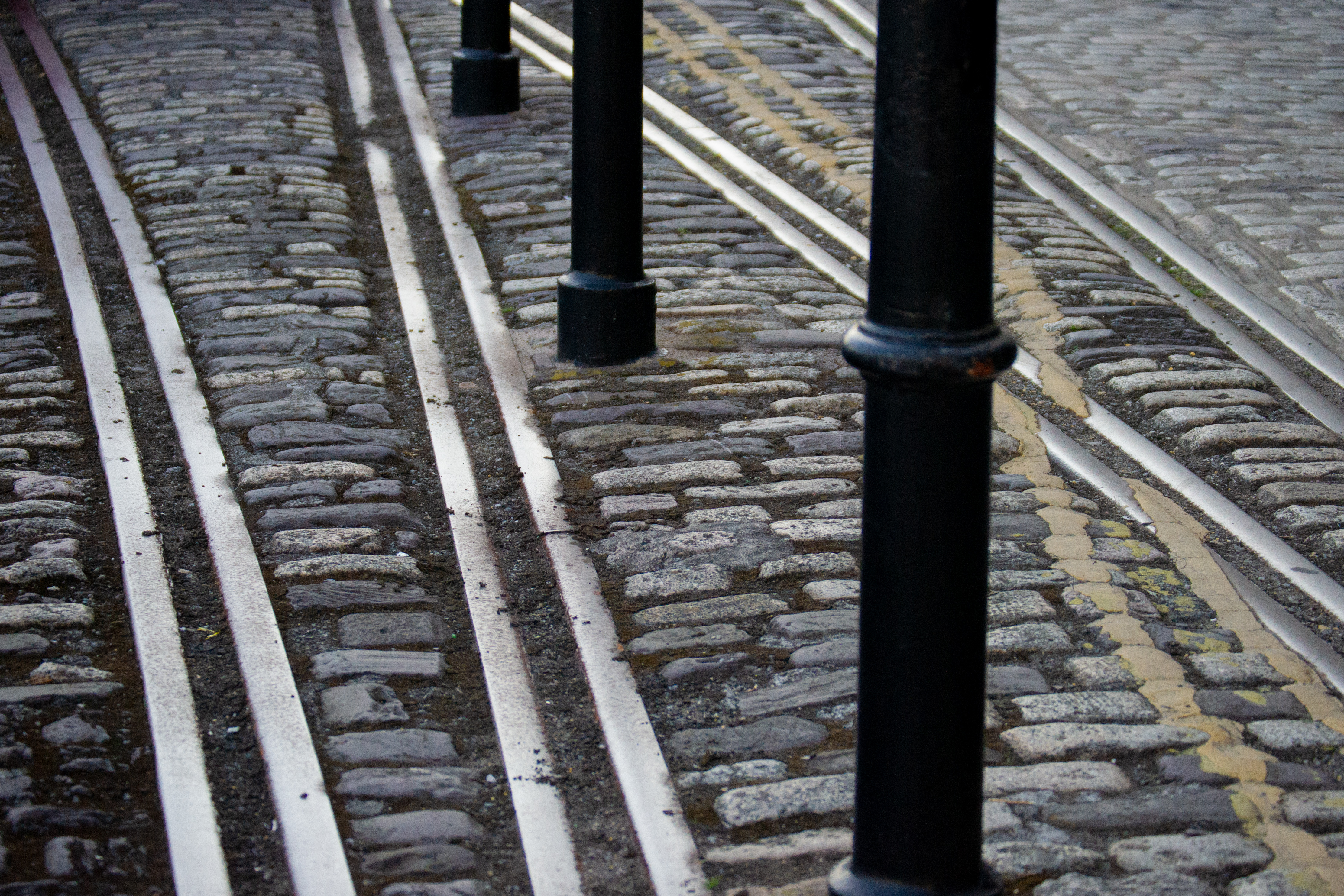
The harbour has a strong connection to Plymouth’s industrial past, and as you explore Sutton Harbour, keep an eye out for the remaining railway tracks around the waterfront. These are reminders of the Plymouth and Dartmoor Railway and the Great Western Railway, offering a small glimpse into the area’s busy history.
Next: Follow the path to the left of Lockyers Quay Cookhouse and Pub, continuing around the harbour towards Miller & Carter Plymouth.
Stop 2: Marrowbone Slip


Originally a shipbuilding yard dating back to the 14th century, Marrowbone Slip played an important role in Sutton Harbour’s maritime history. Over the centuries, hundreds of wooden ships were constructed here, contributing to Plymouth’s reputation as a major port.
Nearby, the building now home to Miller & Carter was once known as The China House. This historic warehouse was built in 1650 by John Rattenbury and is another reminder of the area’s long connection with trade, shipping and the sea.
Next: Continue along the harbour’s edge a little further until you begin to turn left.
Stop 3: North and North East Quay

In its time, North and North East Quay would have been a bustling part of Sutton Harbour, filled with shipping, cargo and the workers who kept the docks moving. Labourers of the docks would gather here waiting for work, ready to help unload and transport goods arriving by sea.
The old railway tracks that once carried those goods towards the Jetty can still be seen along the waterfront today, offering a glimpse into the harbour’s industrial past.
North East Quay had work completed in 1878 at a cost of £12,000, while North Quay was built during the 1850s, helping shape the harbour into the important trading location it became.
Next: Head around the harbour until you reach Sutton Warf on the other side of the marina.
Stop 4: Sutton Warf

Dung Quay was established in 1639 and can be found at the end of one of Plymouth’s oldest streets, Looe Street. The area played an important role in the working life of Sutton Harbour and reflects the long history of trade taking place along the waterfront.
The wharf opposite was constructed between 1813 and 1815, alongside plans to create a tramway running along the entire length of the harbour. However, this ambitious idea was never completed, leaving behind another interesting piece of Sutton Harbour’s history.
Next: Carry on walking toward the corner where the Marina Inn sits.
Stop 5: Sutton Harbour Marina

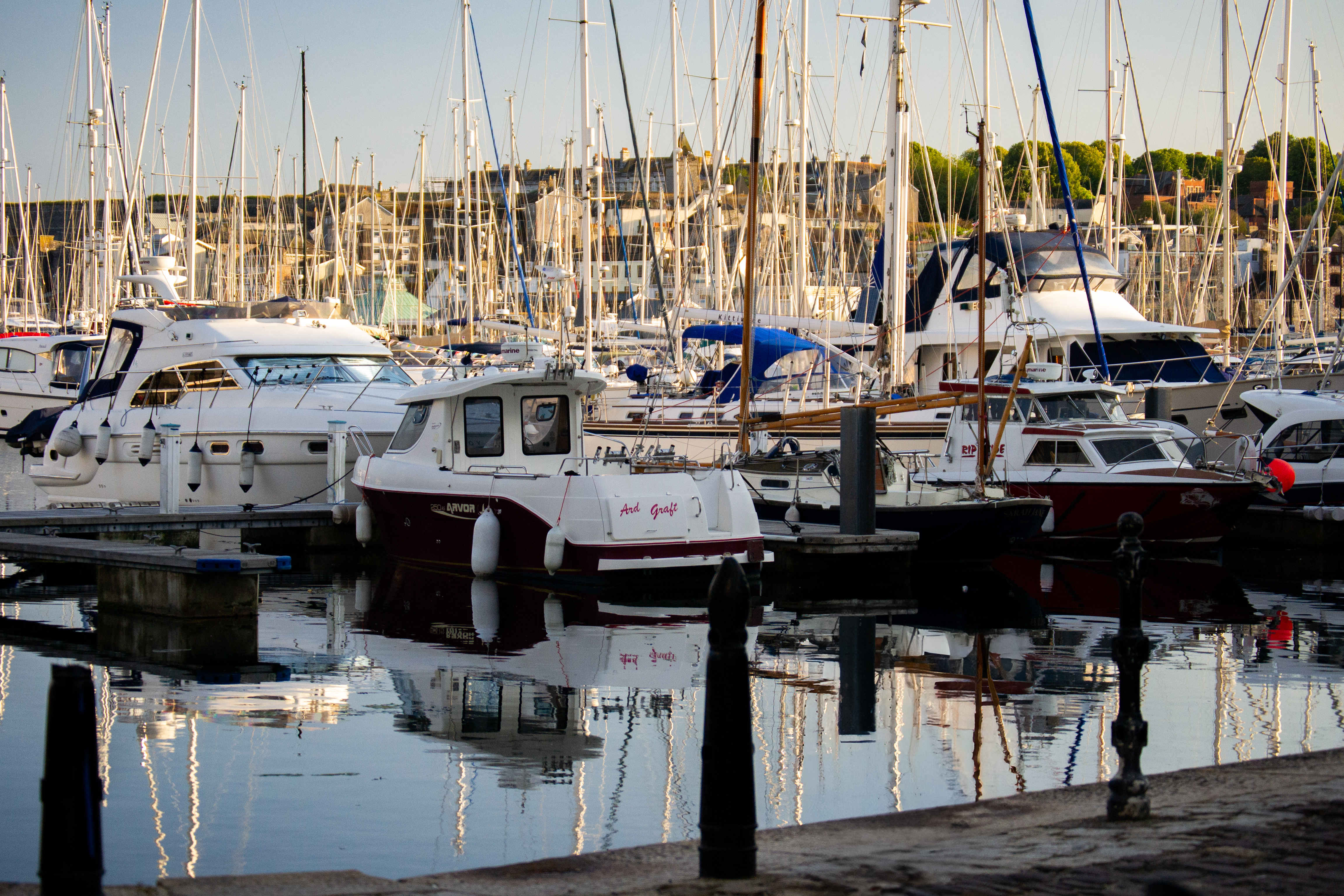
The transformation of Sutton Harbour into a marina began in the early 1970s, changing the area from a working harbour into the waterside location you see today.
The first 70 yacht berths were introduced in 1972 and were quickly taken within just a couple of weeks. A further 80 berths were then created, and these were also filled rapidly. By 1975, demand was so high that there was already a waiting list of over 150 yacht owners hoping to secure a place.
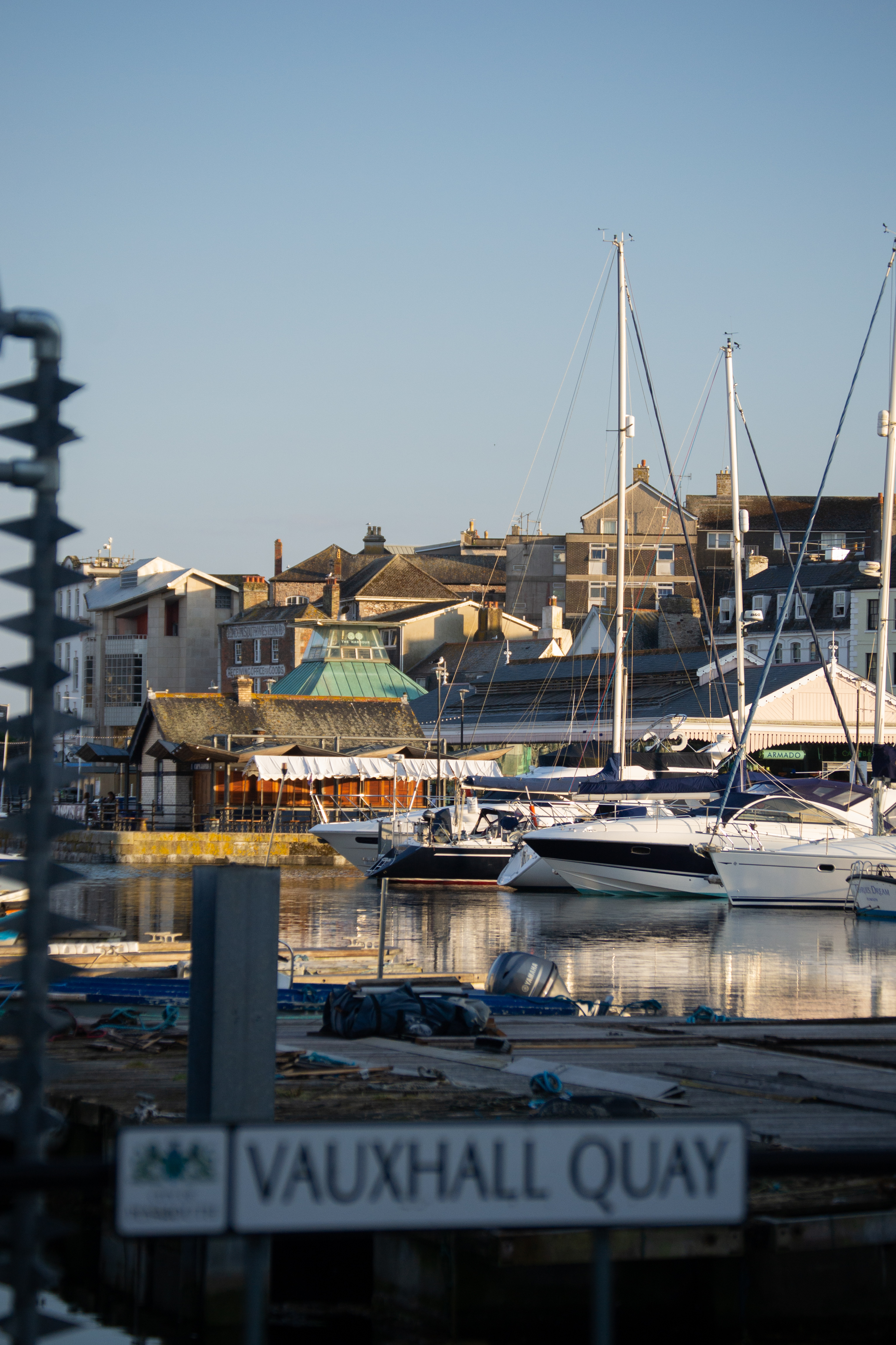
Today, Sutton Harbour Marina continues to be a lively part of the waterfront, bringing together boats, restaurants, businesses and visitors while keeping the harbour’s connection with the sea alive.
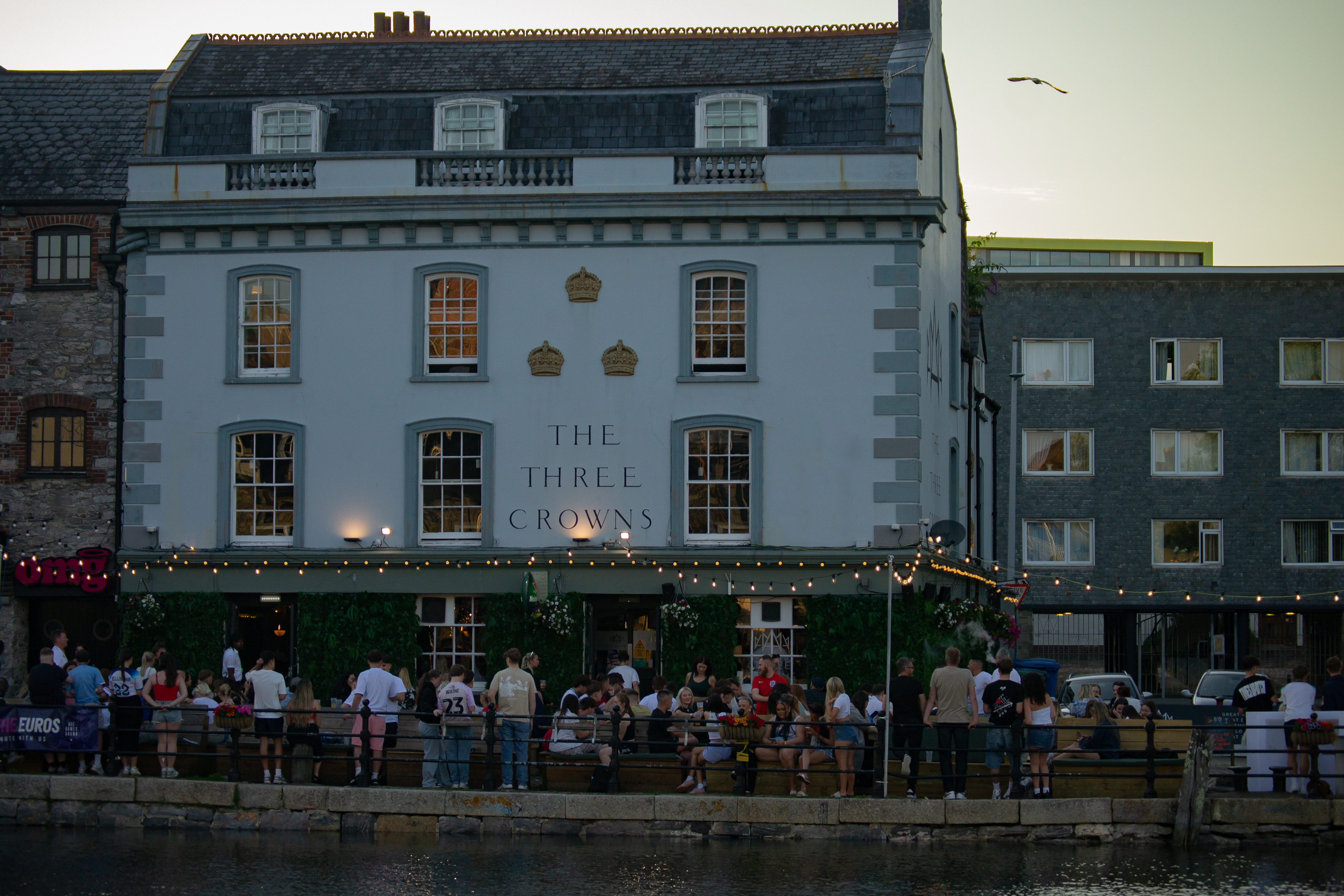
Next: Follow the road until you reach the Exchange Street Car Park, stopping next to The Three Crowns pub.
Stop 6: Guys Quay

Dating back to the 1600s, Gaye’s Quay, now known as Guys Quay, holds an important place in Sutton Harbour’s history. Once surrounded by waterfront warehouses, this area would have been part of the busy working harbour, supporting the trade and activity taking place along the waterfront.
Sadly, many of the surrounding warehouses were destroyed during the World War II bombings, forever changing the landscape of this part of Plymouth. Today, Guys Quay stands as a reminder of how much Sutton Harbour has changed over the centuries while still keeping its connection to the sea.
Next: Head around the harbour, making your way to Cap’n Jaspers.
Stop 7: Cap’n Jaspers

Established in 1978 by John Dudley, Cap’n Jaspers is a well-known bar and restaurant located on the corner of the Barbican seafront. Over the years, it has become a popular meeting place for bikers, local fishermen and visitors exploring the waterfront.
With its distinctive character and waterside location, Cap’n Jaspers has become a much-loved landmark in the area, adding to the lively atmosphere that makes the Barbican such a unique part of Plymouth.
Next: Wander onwards along the waterfront slightly, and you will pass a large glass building.
Stop 8: Old Fish Market
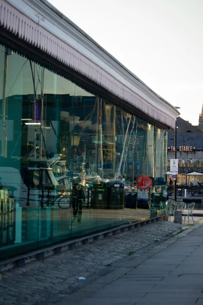
The large glass building in front of you was once home to Plymouth’s old fish market, originally constructed in the 1890s on land reclaimed from the sea. In the mid-1990s, the fish market moved to Lockyers Quay, and the building was given a new lease of life, now housing a popular seafood restaurant and gift shop.

Interestingly, if you thought the structure looked a little like a railway station, you’d be right. Designed by Sir James Inglis, the engineer behind the Great Western Railway, the building’s distinctive design reflects the strong connection between Plymouth’s harbour and its railway history.
Next: Wander toward the end as you reach the Mayflower Steps.
Stop 9: Mayflower Steps Portico

One of the most well-known historic moments in Plymouth’s history is connected to the Mayflower and the Mayflower Steps. Located beside the entrance to the harbour on West Pier, this iconic spot marks where the Pilgrim Fathers are believed to have boarded the Mayflower before departing for America in 1620.
The stone inscription reading ‘Mayflower 1620’ serves as a reminder of this historic journey and the connection between Plymouth and one of the most famous voyages in history.
Next: Finally, make your way across the marina bridge towards the National Marine Aquarium for the last stop.
Stop 10: Sutton Lock and the National Marine Aquarium

The Sutton Harbour Lock is the only entrance into the harbour from the sea and operates 24 hours a day, 7 days a week. Originally, the entrance was a narrow opening through a natural limestone barrier, which could only be crossed at low tide.
During the 1790s, the entrance was widened and improved alongside works to develop the East and West Piers. Today, the lock continues to play an important role by controlling the water level inside the harbour, ensuring boats can enter and leave safely regardless of the changing tides outside.

Nearby, the National Marine Aquarium opened in 1998, continuing the area’s long connection with the sea. Before becoming an aquarium, this site was once used for shipbuilding, ship repairs and even rope making, adding another chapter to Sutton Harbour’s maritime story.
And that is the end of the trail.
Sutton Harbour is a place where centuries of history sit alongside modern life. From shipbuilding and fishing to railways, trade and the boats that still fill the marina today, every corner has a story waiting to be discovered.
Whether you visit for the history, the views, the food or simply to enjoy a wander beside the water, this short trail offers a glimpse into the harbour that helped shape Plymouth.
I hope you enjoyed exploring Sutton Harbour with me, and maybe it has inspired you to take a walk and discover some of these stories for yourself.
Until next time xXx
🖼️ Postcard Moments ✨
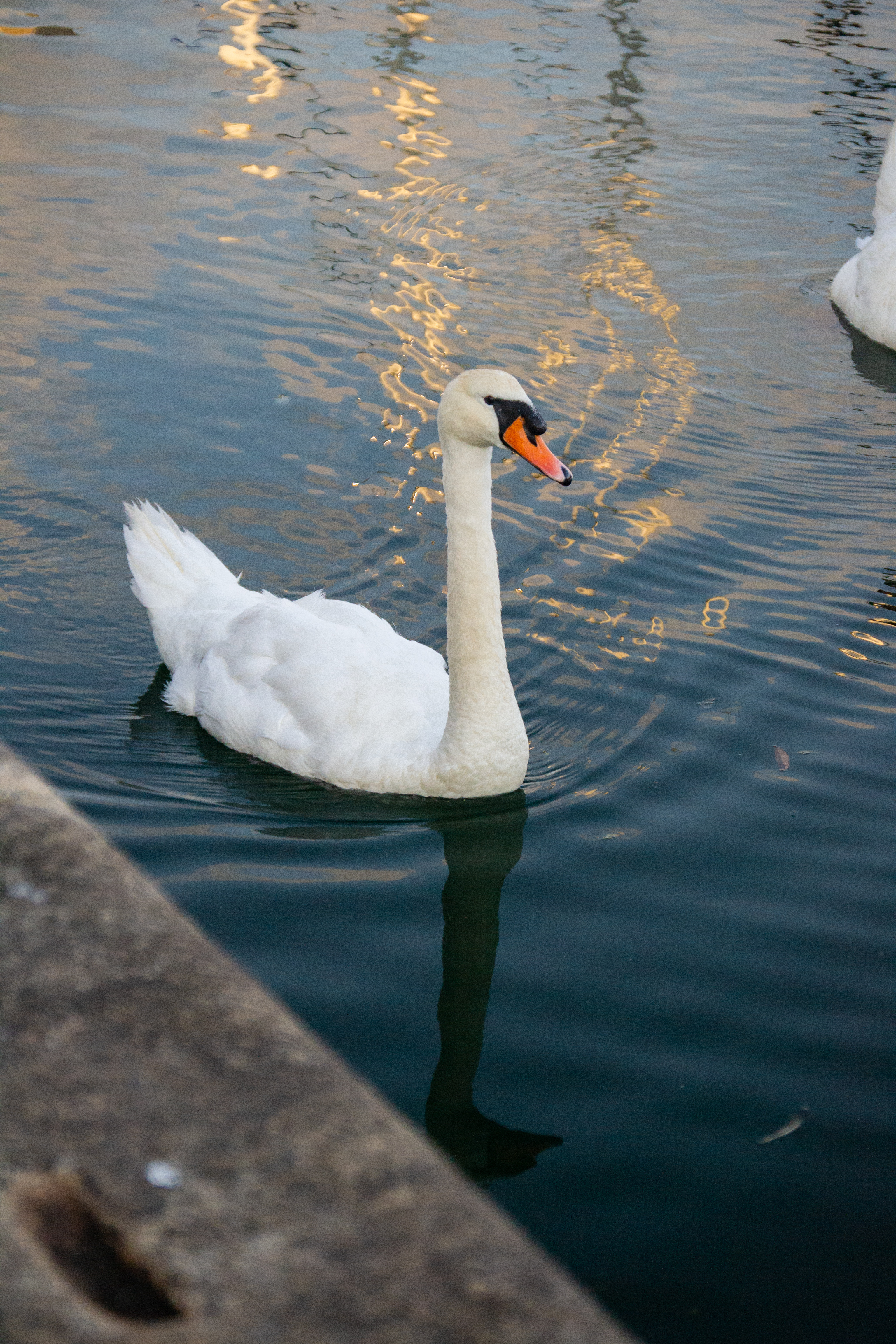
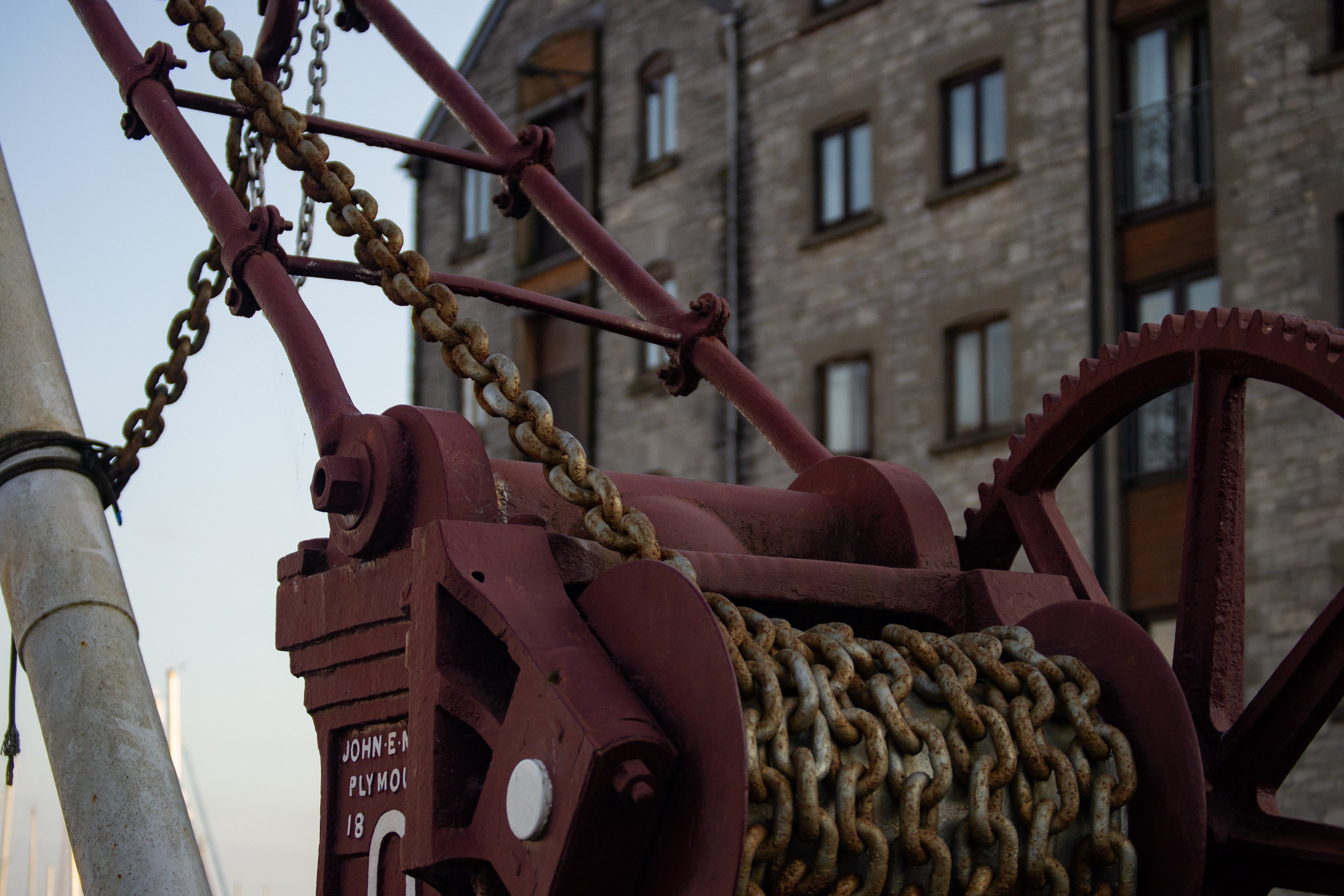
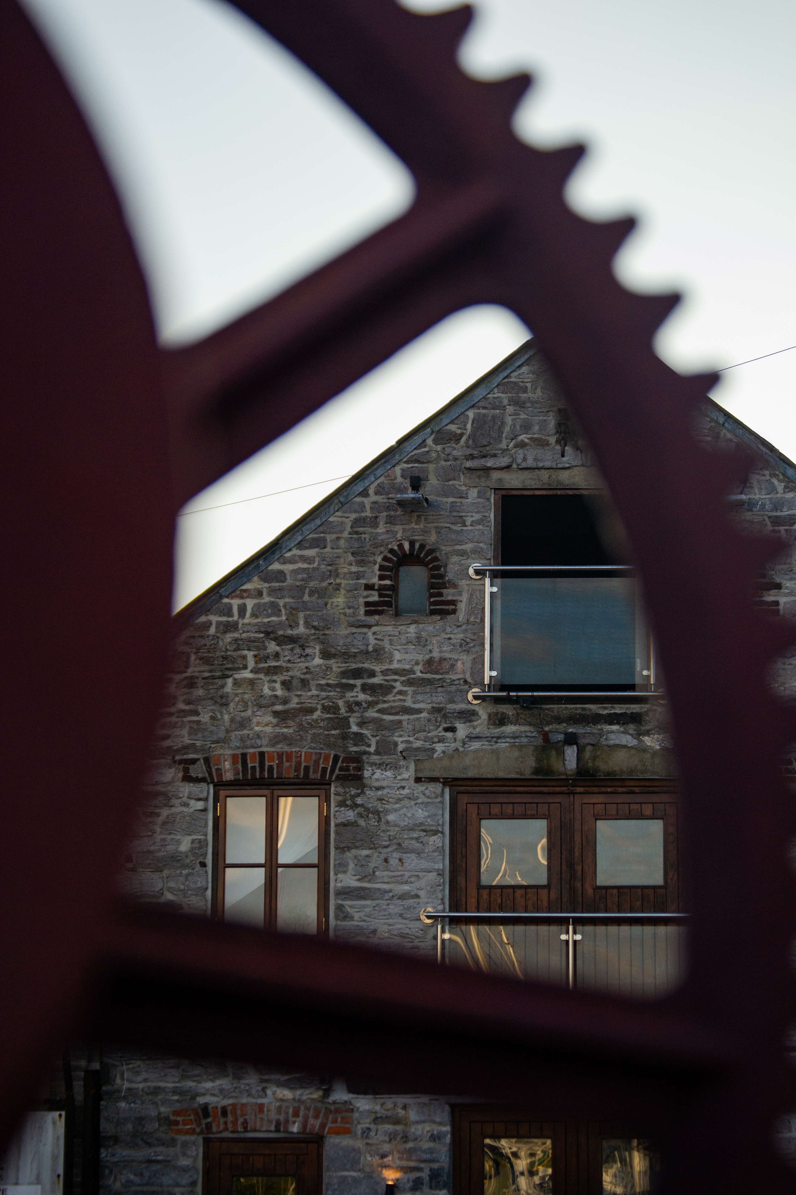
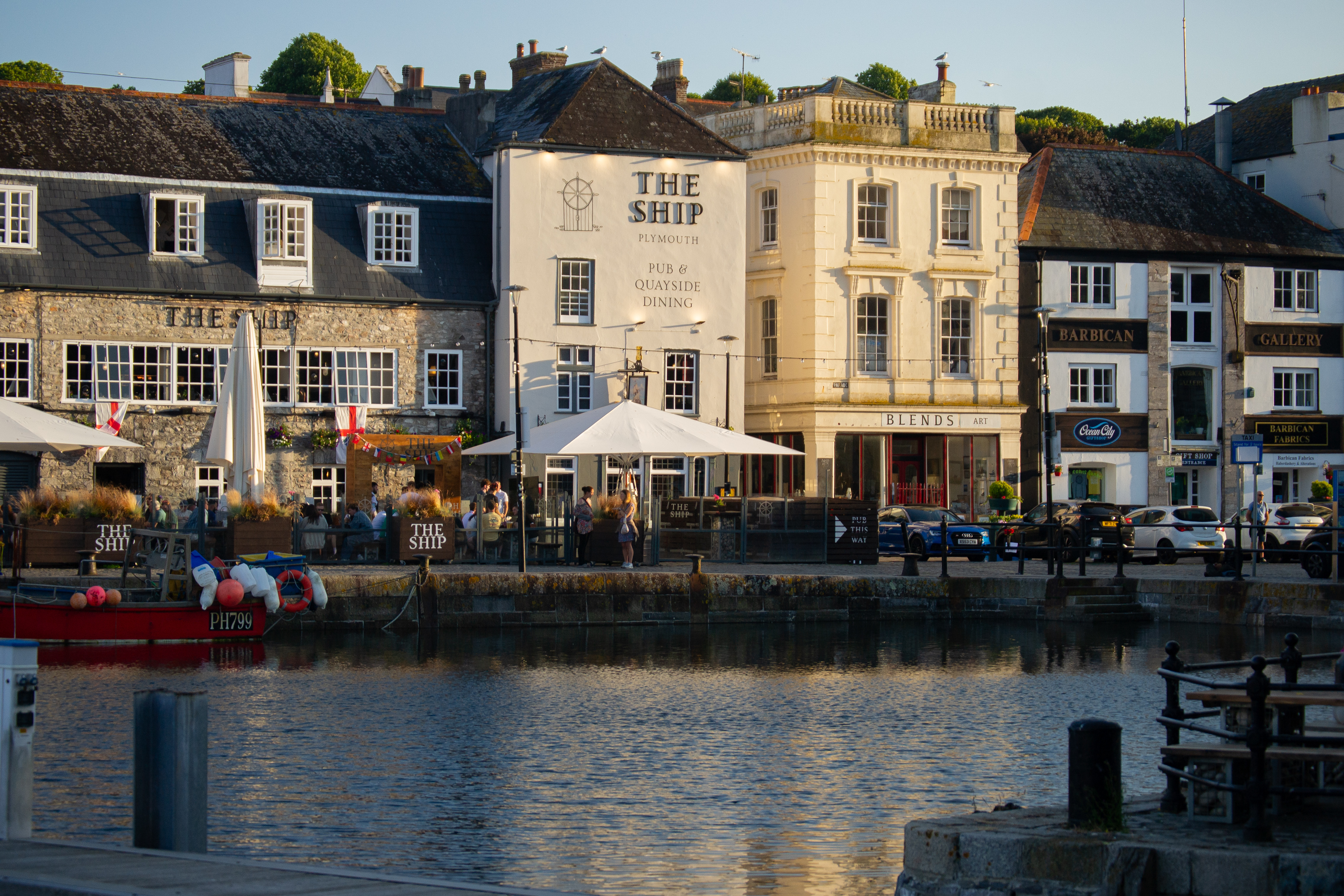
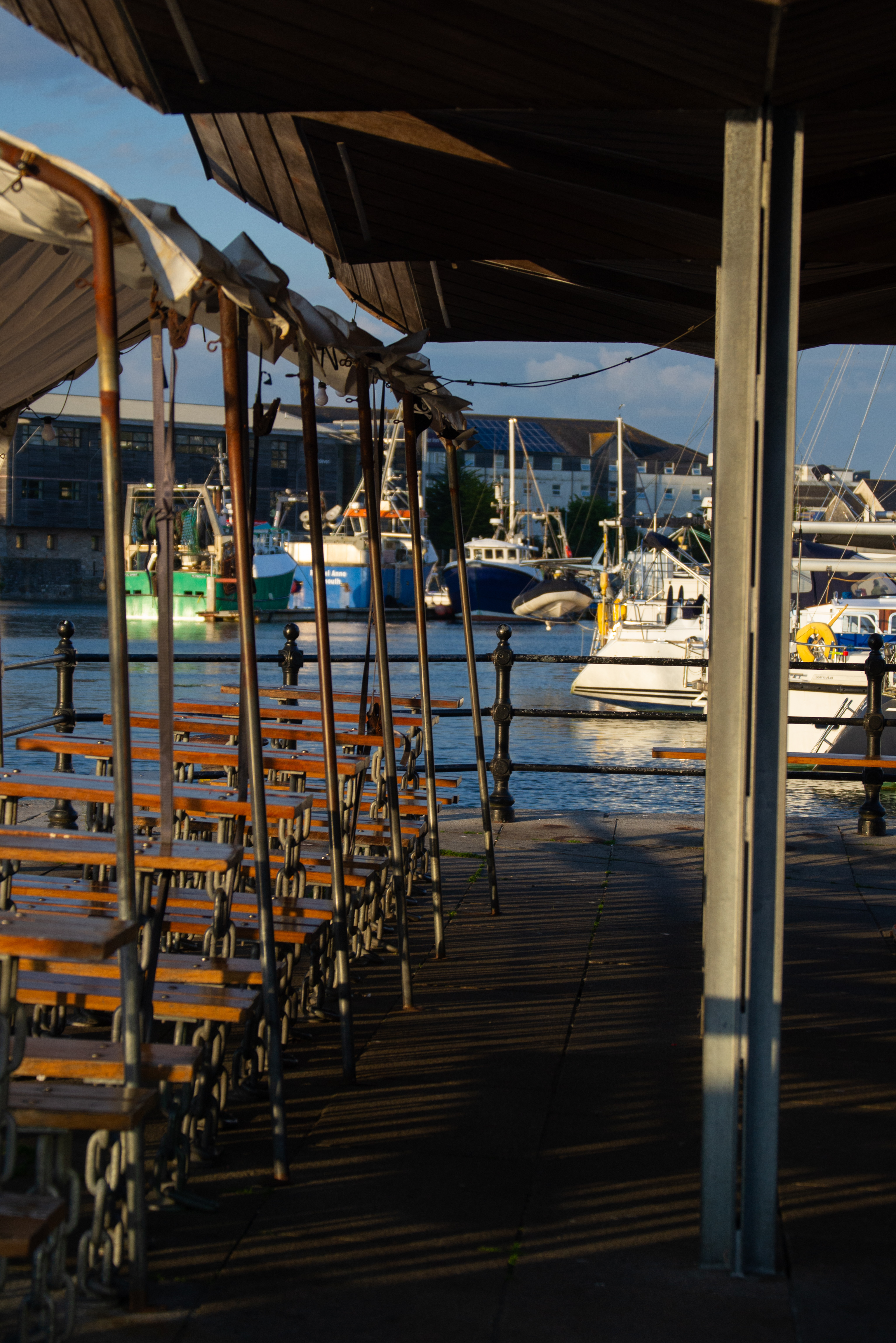
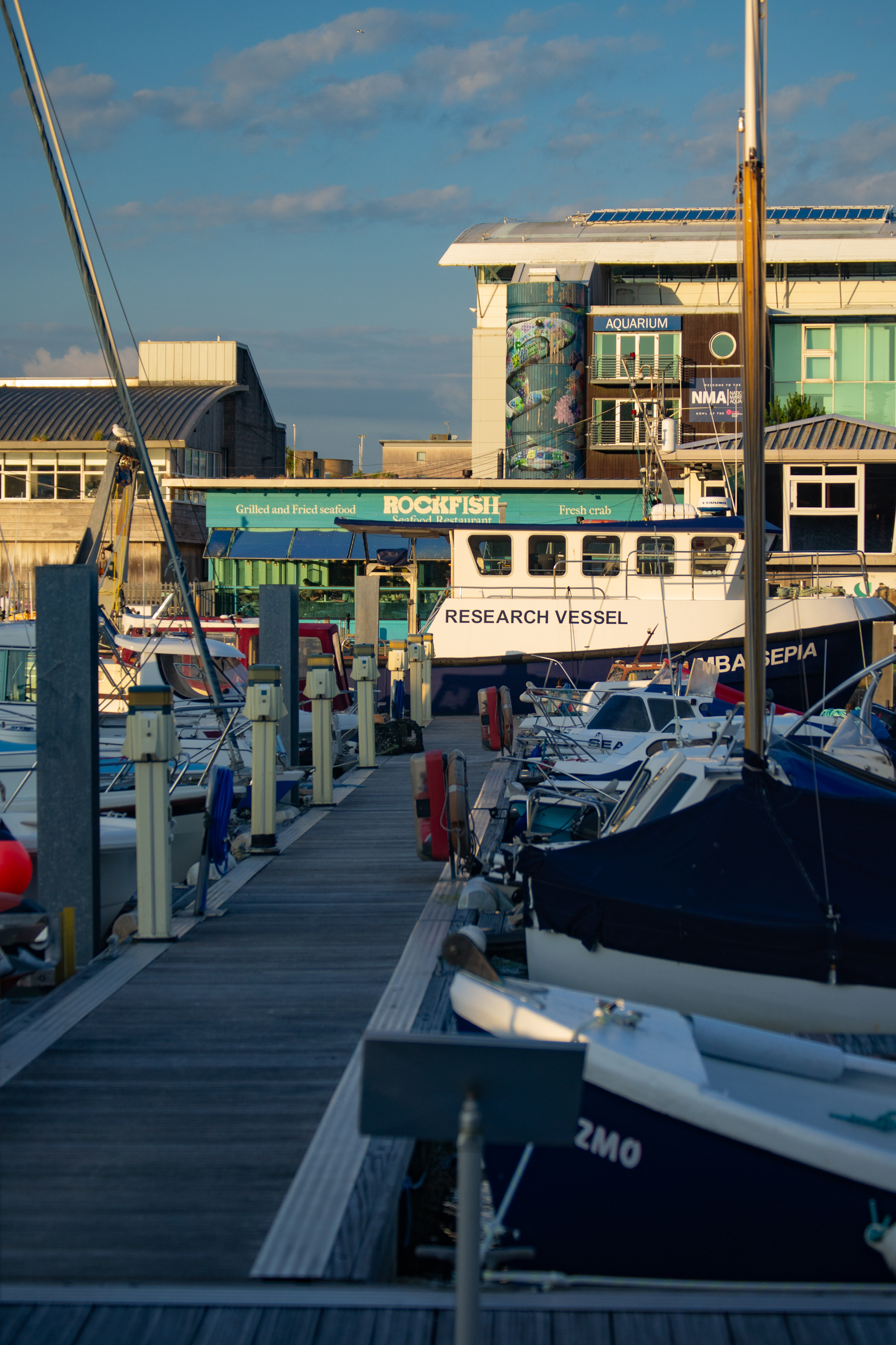
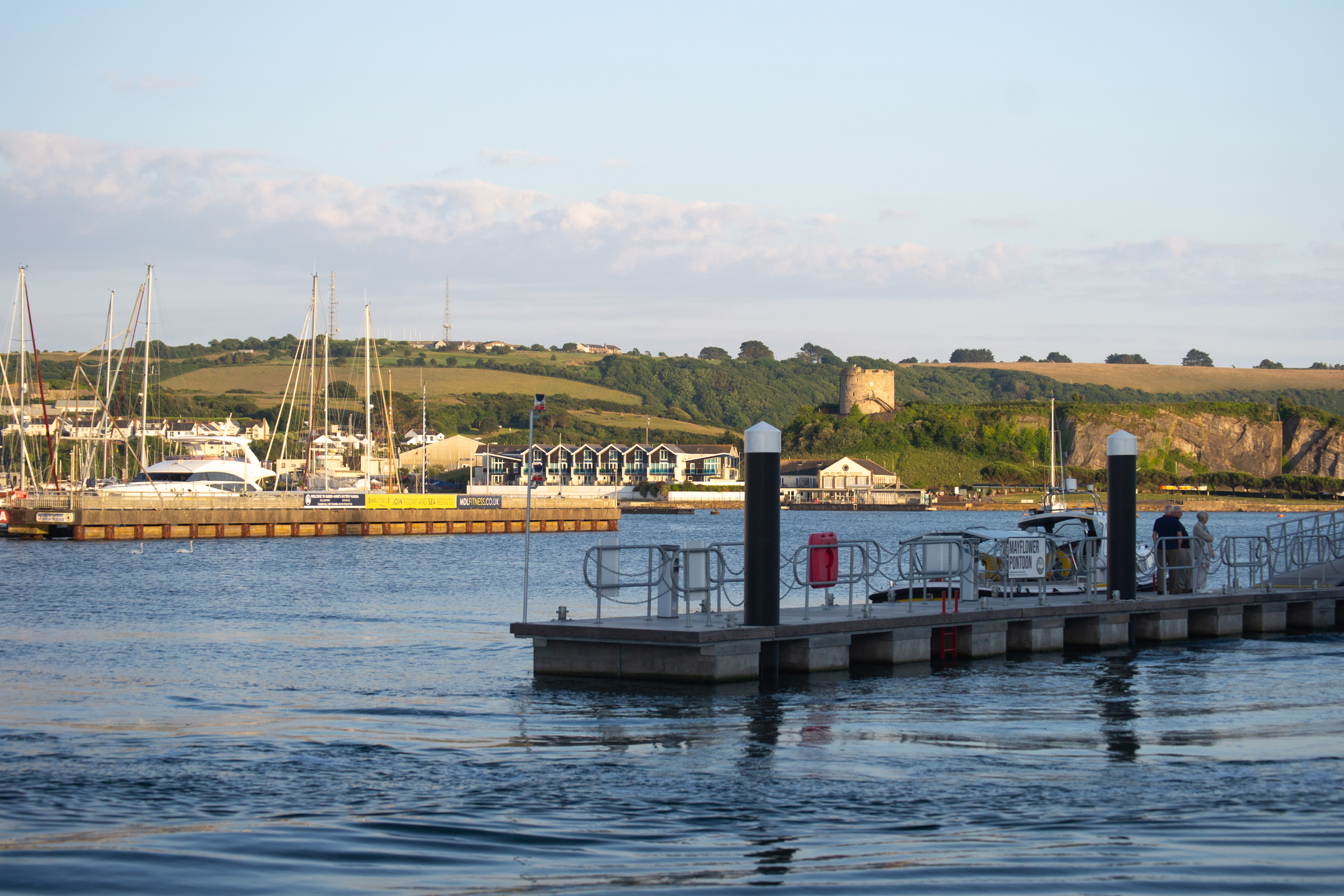
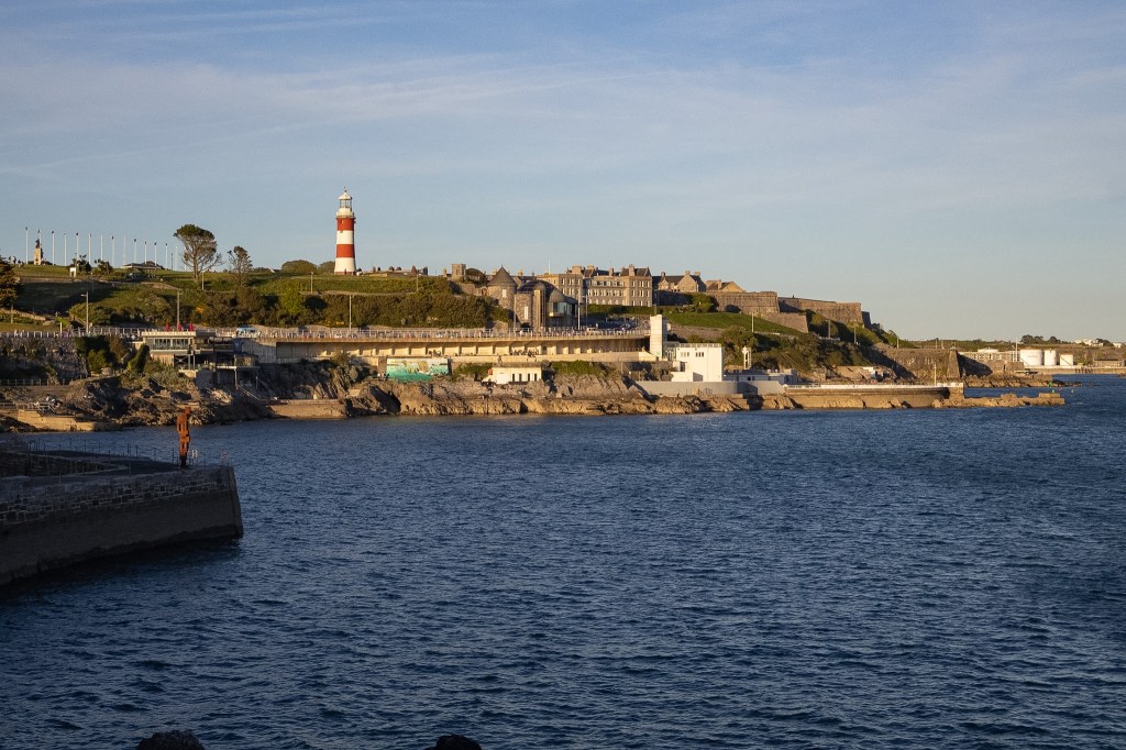
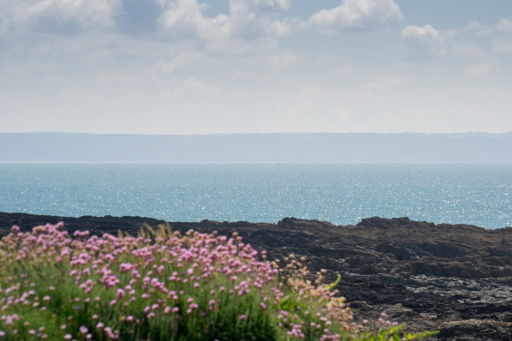
This trail was an easy walk, it is a very short bimble around Sutton Harbour in Plymouth and it is paved the entire way around. Golden hour, sunset, is beautiful as the light bumps off the water, boats and windows. There is an abundance of food options around and if I needed to get some extra steps in, this circular route is perfect.





Leave a Reply